PLANIMETRIC MAPPING

Unlock the Power of Two-Dimensional Feature Analysis

In the realm of geospatial intelligence, understanding the lay of the land is just the beginning. Planimetric mapping elevates this understanding, offering a comprehensive view of both natural and man-made structures across any landscape.

PRECISION INSIGHTS FOR INFORMED DECISIONS

Planimetric Maps for Better Decision-Making

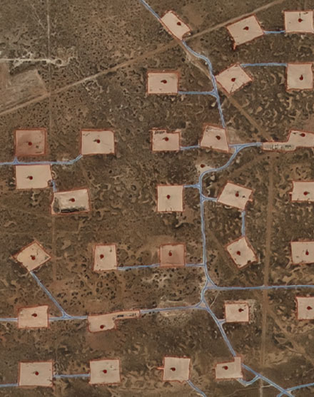
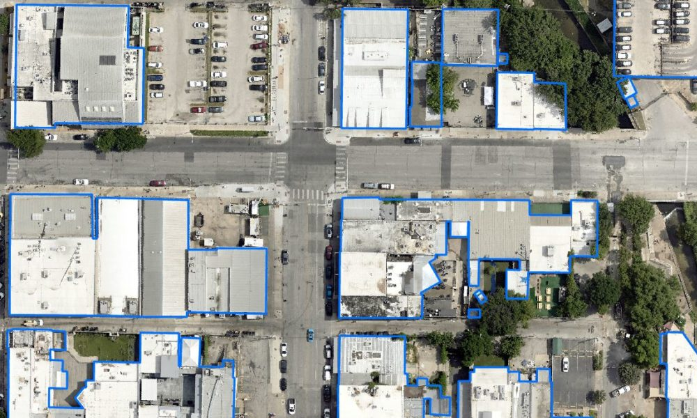
At Prius Intelli, we transform high-resolution aerial imagery into detailed planimetric maps. With our Planimetric Mapping services, you’re not just seeing your project area—you’re understanding it on a deeper level. From intricate networks of man-made features to vast tracts of open land, our services deliver the insights you need to make confident, informed decisions.

Risk Mitigation

Identify potential hazards and plan accordingly

Resource Optimization

Allocate resources more effectively based on accurate spatial information

Enhanced Collaboration

Share clear, visual information across departments and stakeholders

Future Proofing

Make decisions based on the most up-to-date spatial data available

Structure ID® for Midstream

SPOTLIGHT: Structure ID by PI®

Pipeline Managers: Streamline PHMSA Compliance

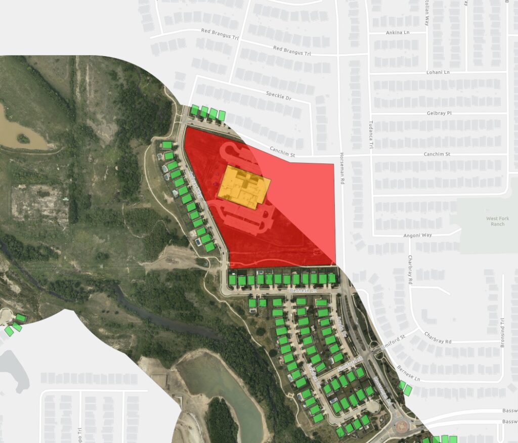
Our turnkey Structure ID service transforms planimetric data into a powerful tool for identifying and classifying structures along your pipeline right-of-way.

  • Combines aerial imagery with advanced planimetric mapping and structure classification
  • Delivers comprehensive GIS datasets for efficient analysis
  • Supports ongoing compliance and change detection

THE PRIUS INTELLI ADVANTAGE

How Our Planimetric Mapping Services Stand Out

  • Features are precisely plotted for a true representation of your tracked elements.
  • Vector datasets deliver exact information needed for calculations and classifications.
  • Highly visual maps provide instant understanding of important structures.

WHAT ARE YOU WAITING FOR?

Transform your geospatial strategy today.

Don’t let valuable data go underutilized. Contact us today to learn how our expert GIS
and aerial imagery solutions can drive innovation and efficiency in your operations.

WHAT ARE YOU WAITING FOR?

Transform your geospatial strategy today.

Don’t let valuable data go underutilized. Contact us today to learn how our expert GIS and aerial imagery solutions can drive innovation and efficiency in your operations.

Don’t let valuable data go underutilized. Contact us today to learn how our expert GIS and aerial imagery solutions can drive innovation and efficiency in your operations.